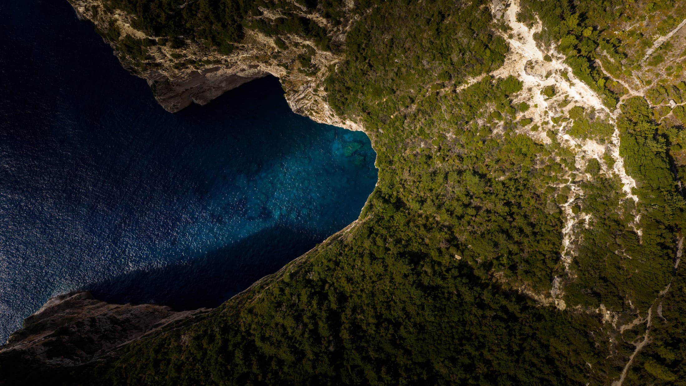
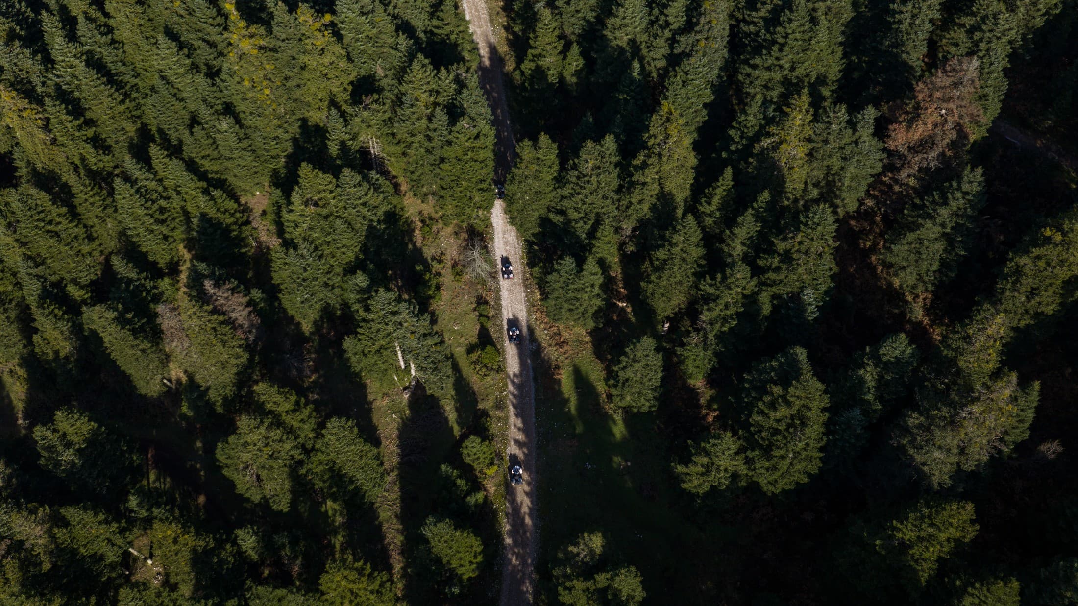
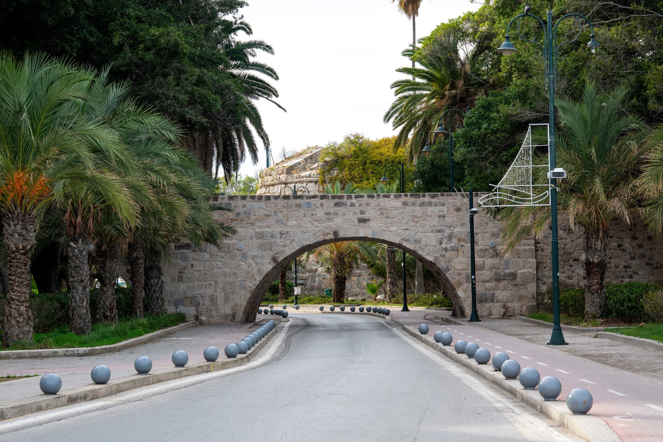
An extensive hiking network on the greenest island in the Cyclades
On Andros, ancient trade routes, stone-paved alleys, and paths connecting villages, rivers, and monasteries form one of the most comprehensive hiking networks in Greece. It is no coincidence that it was the first Greek destination to be certified with the European Leading Quality Trails – Best of Europe label.
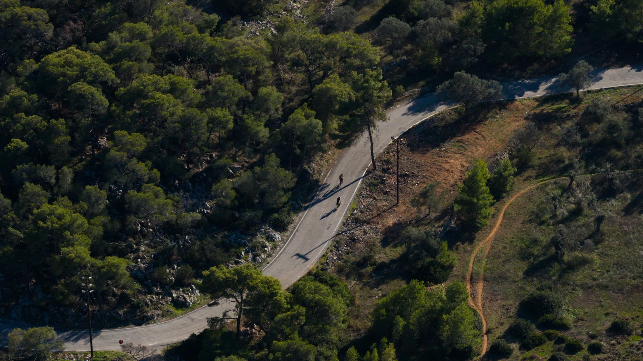
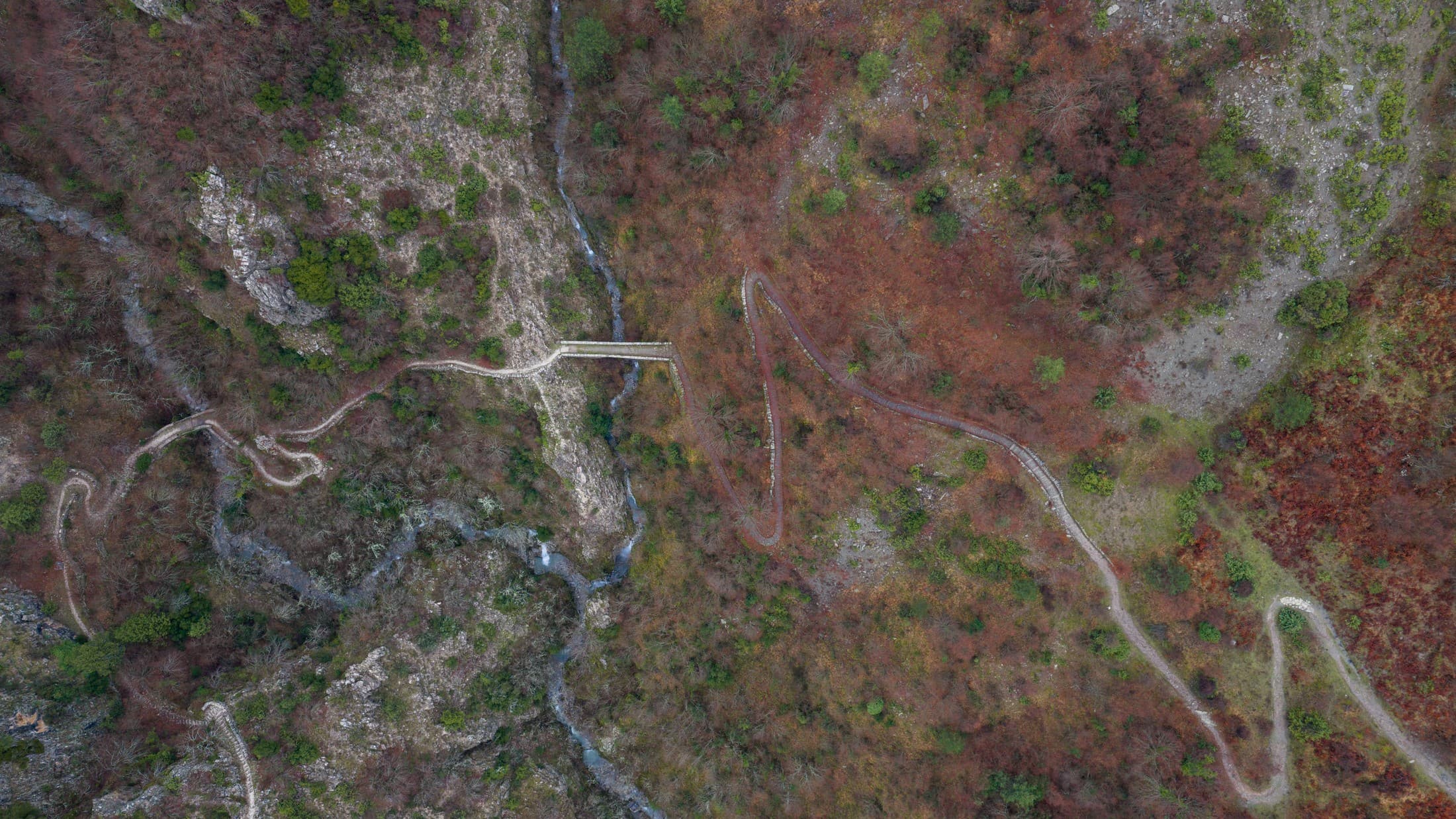
The central axis of the network is Andros Route, a continuous journey of approximately 100 kilometres that traverses the island from Vori to Korthi. It is divided into ten individual stages, each possessing its own character and natural beauty. Several characteristic routes include:
Total network length: approximately 180 km.
Main route: Andros route (100 km over 10 daily stages)
Difficulty level: Ranging from easy (1–2 hours) to demanding (6–8 hours)
Hiking season: March–June & September–November
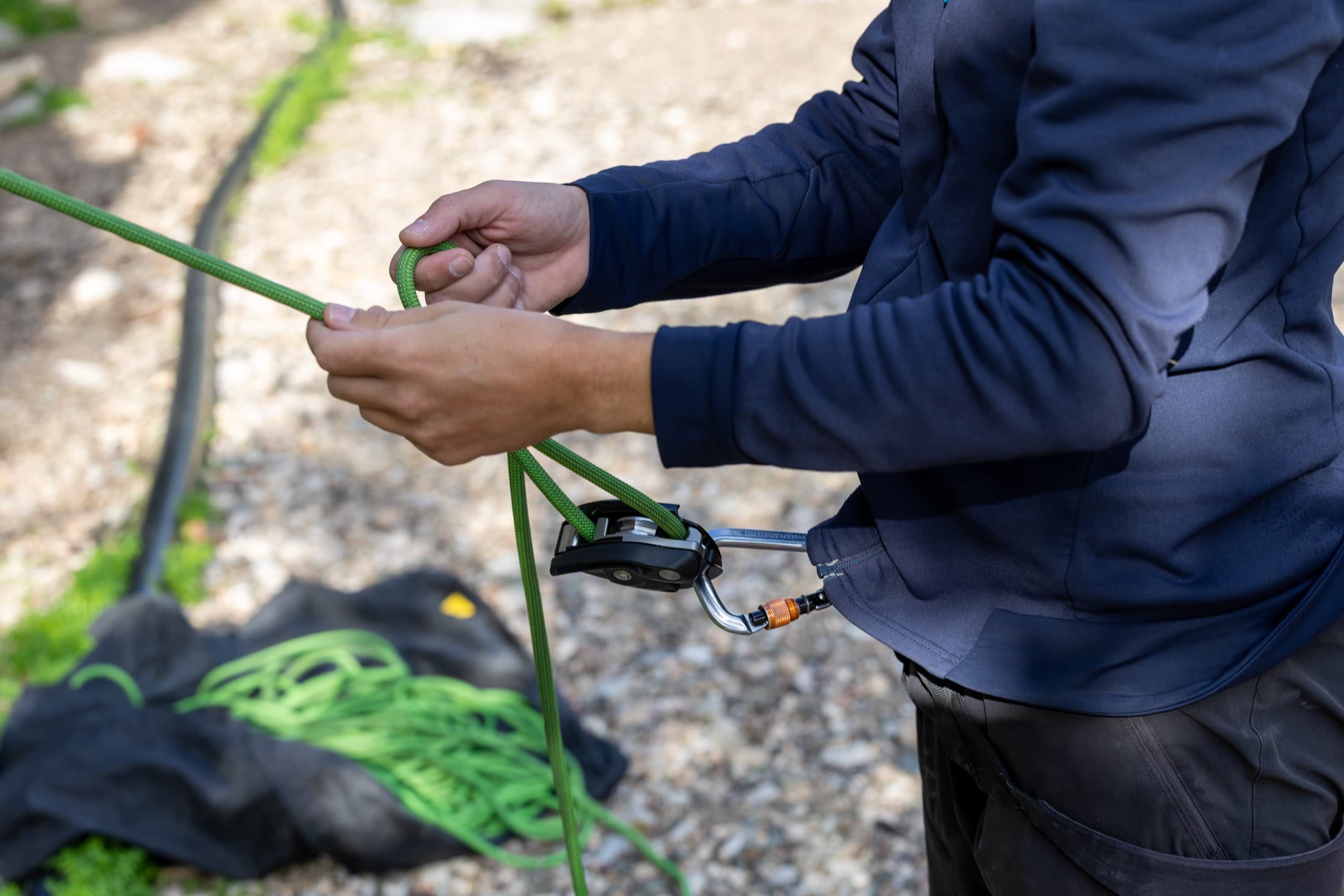
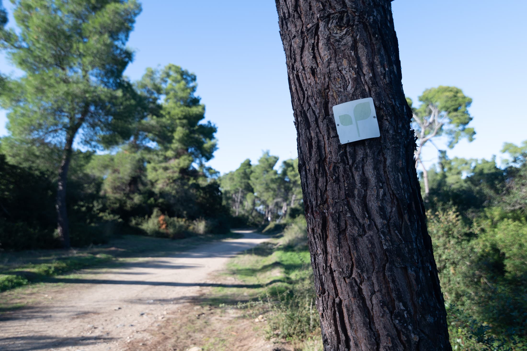
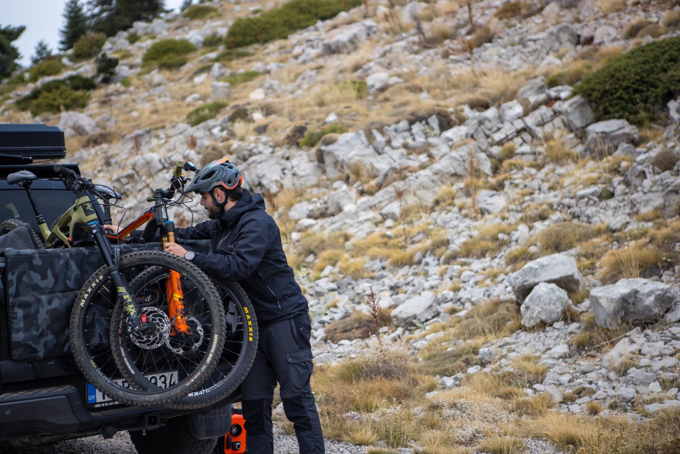
Equipment: Non-slip shoes, a hat, water, a map or the official Andros Routes app
NB: weather conditions may affect the accessibility of the trails. It is advisable to consult the website www.androsroutes.gr before any hike.
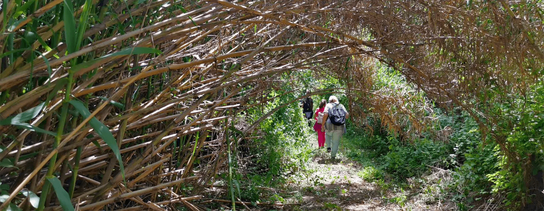
Hiking with respect for nature
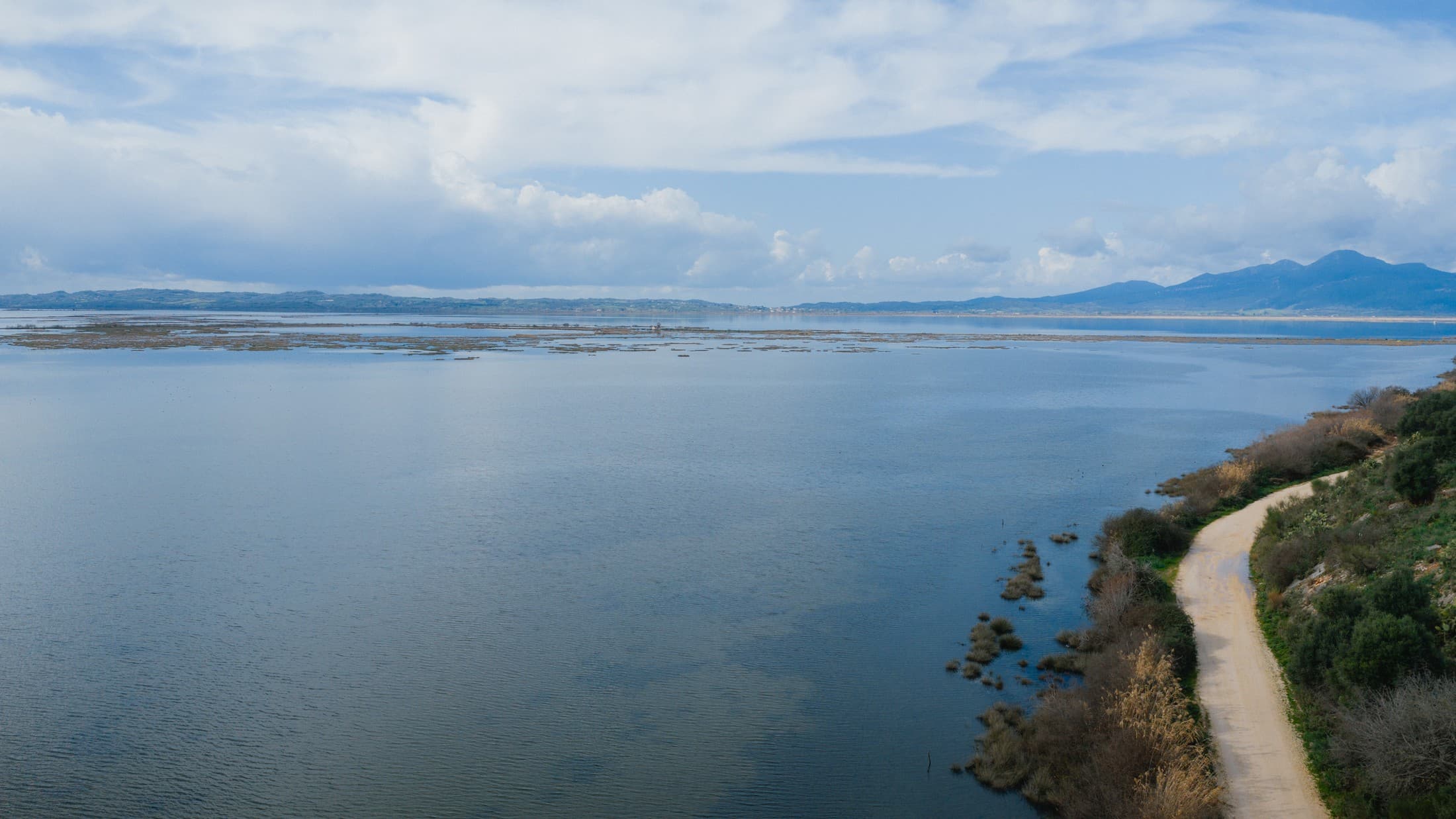
Andros possesses an exceptionally sensitive ecosystem and is home to diverse bird species, endemic plants, and freshwater springs. During your hike: Stay on the marked trails to protect the natural vegetation.
The central axis of the network is Andros Route, a continuous journey of approximately 100 kilometres that traverses the island from Vori to Korthi. It is divided into ten individual stages, each possessing its own character and natural beauty. Several characteristic routes include:
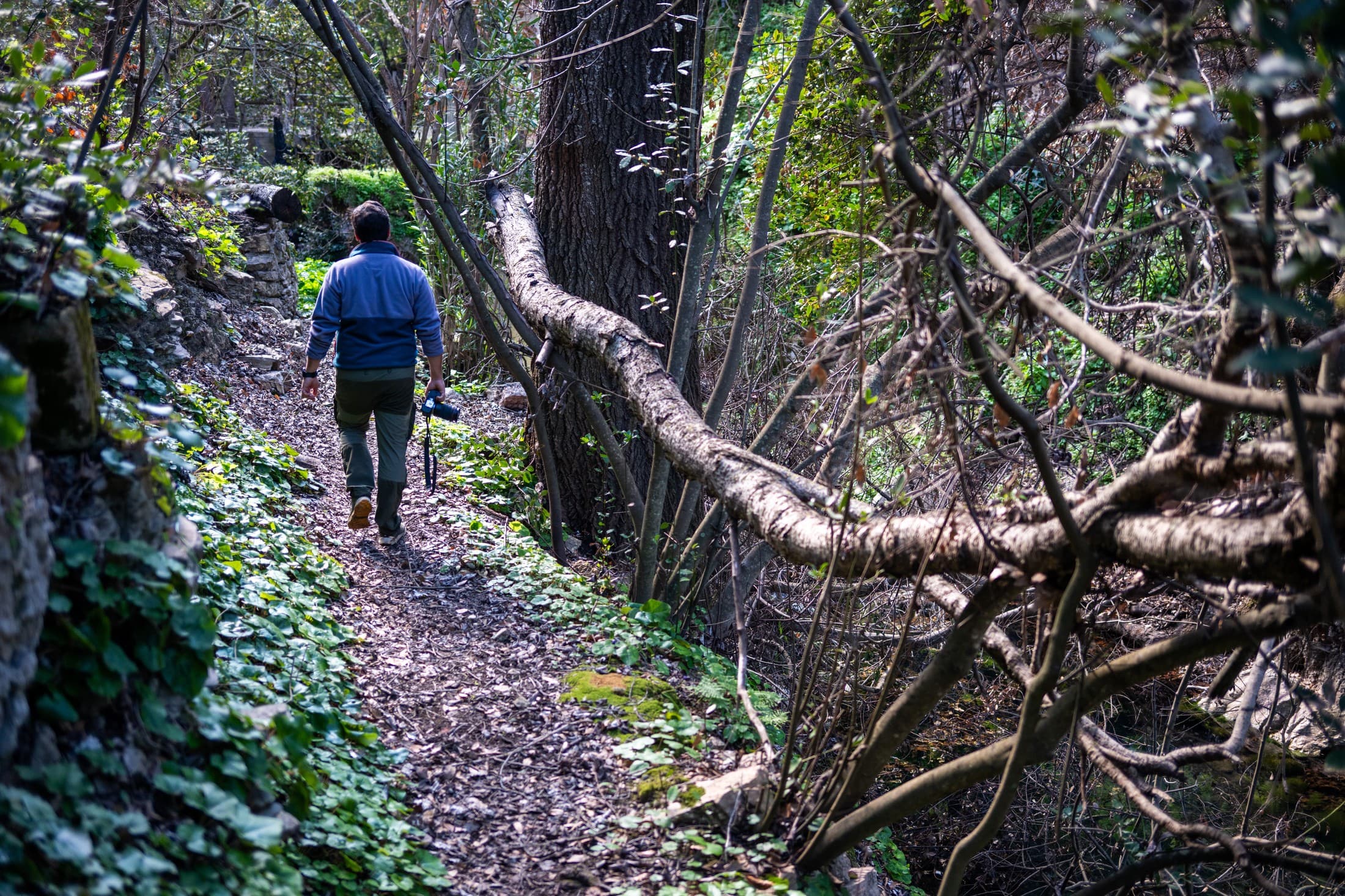
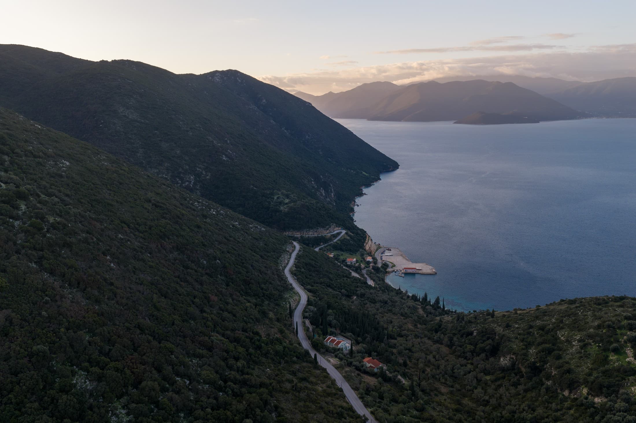
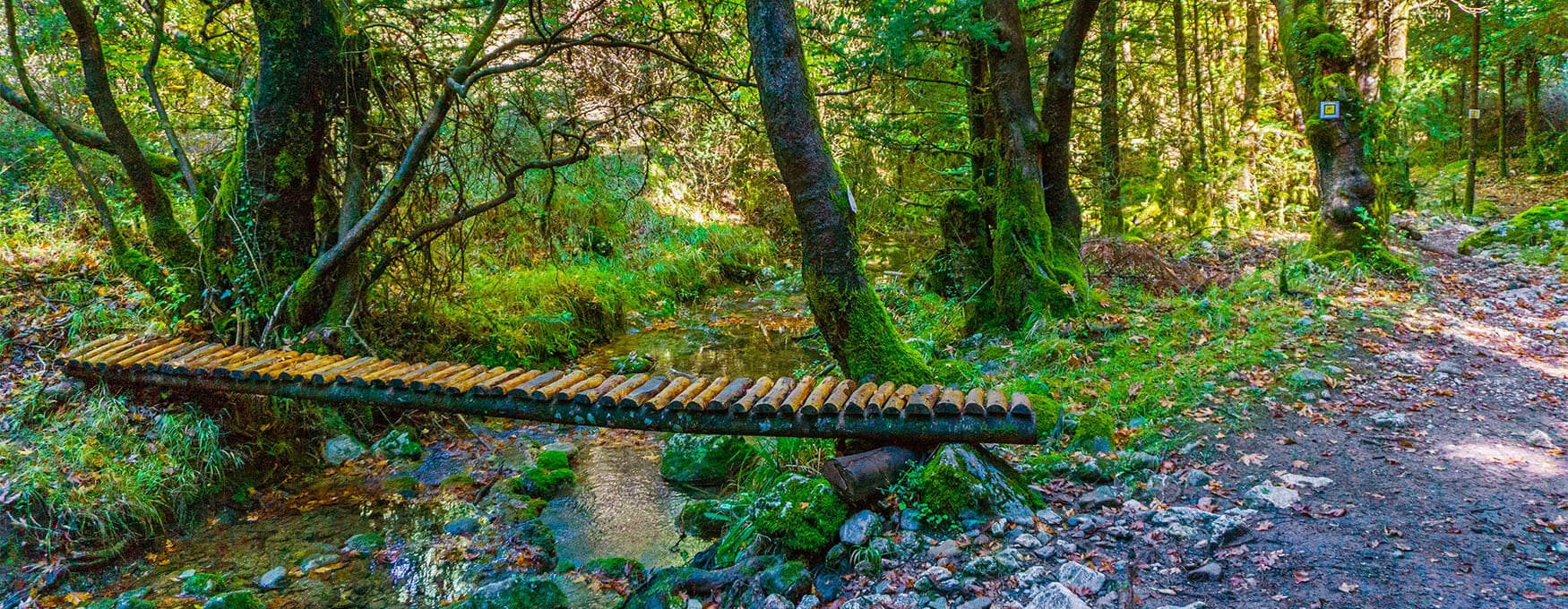
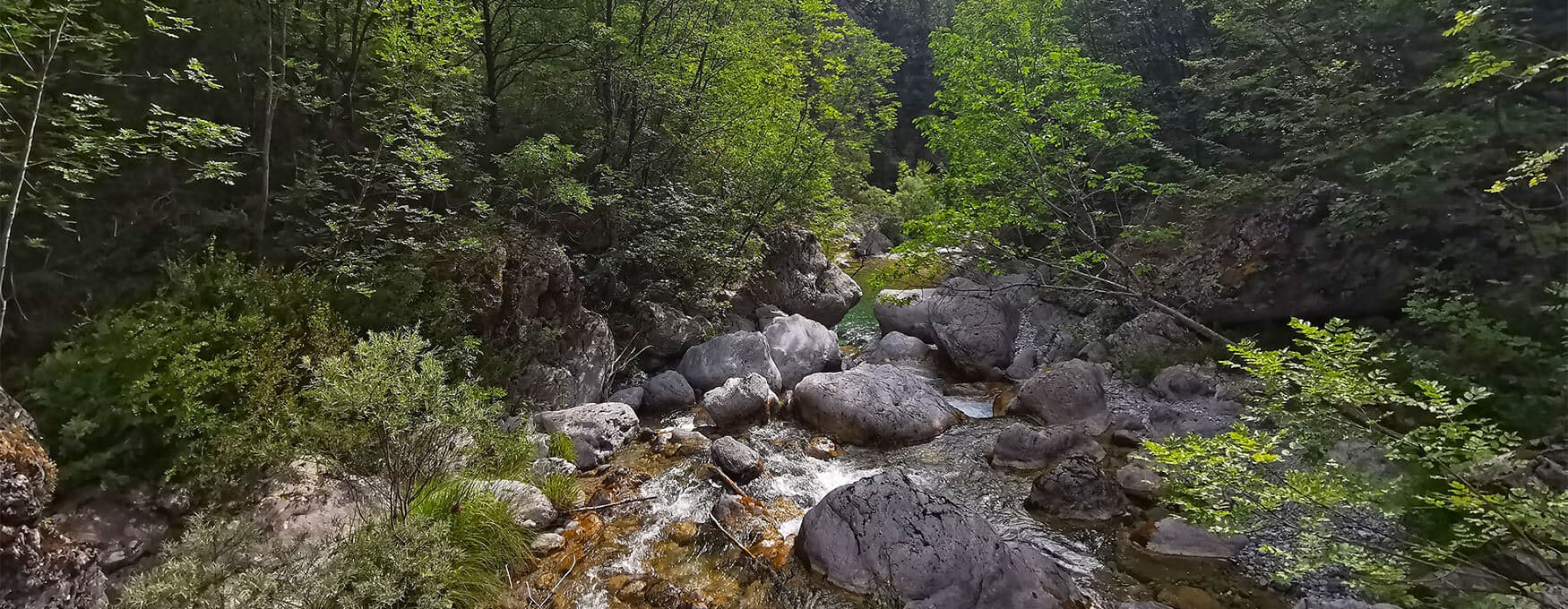
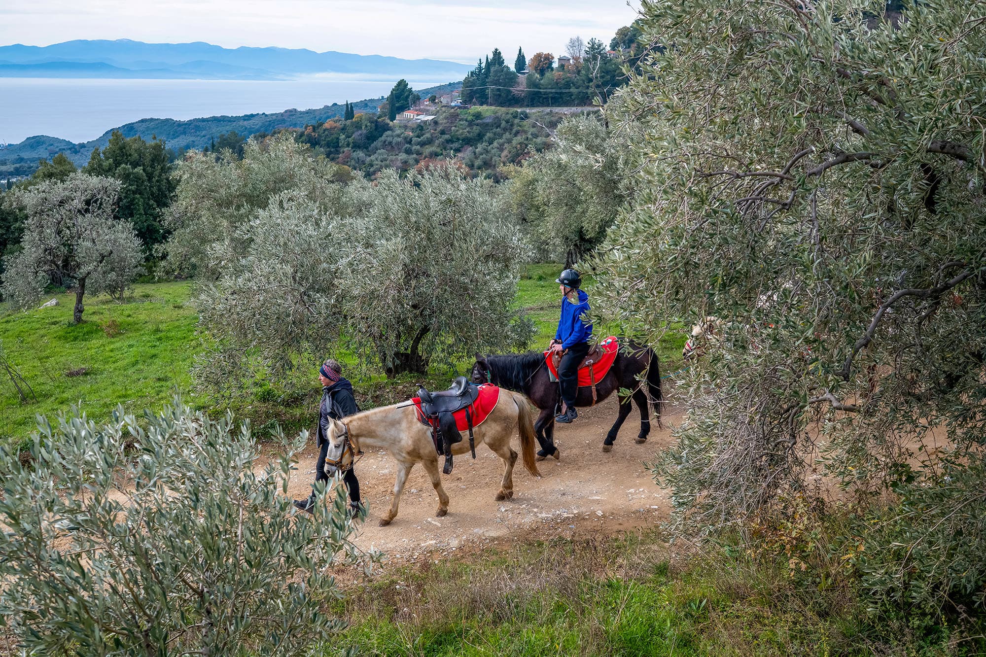
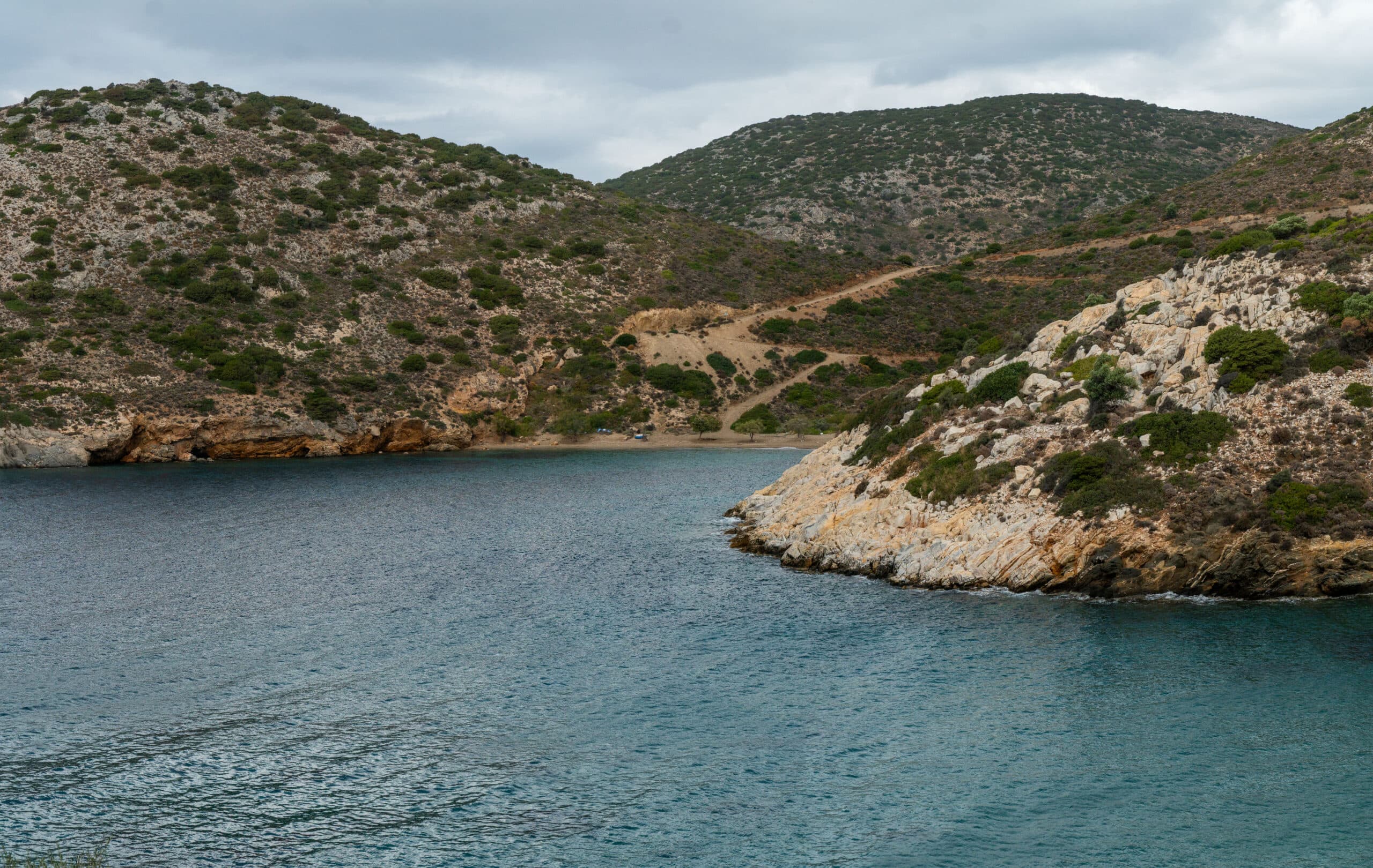
- Vori – Arni: starting from Vori beach, the path follows the ravine and ascends towards Remata and the village of Arni, amidst lush vegetation and cultivated fields. The route requires endurance but rewards hikers with constant variations of light, water, and greenery.
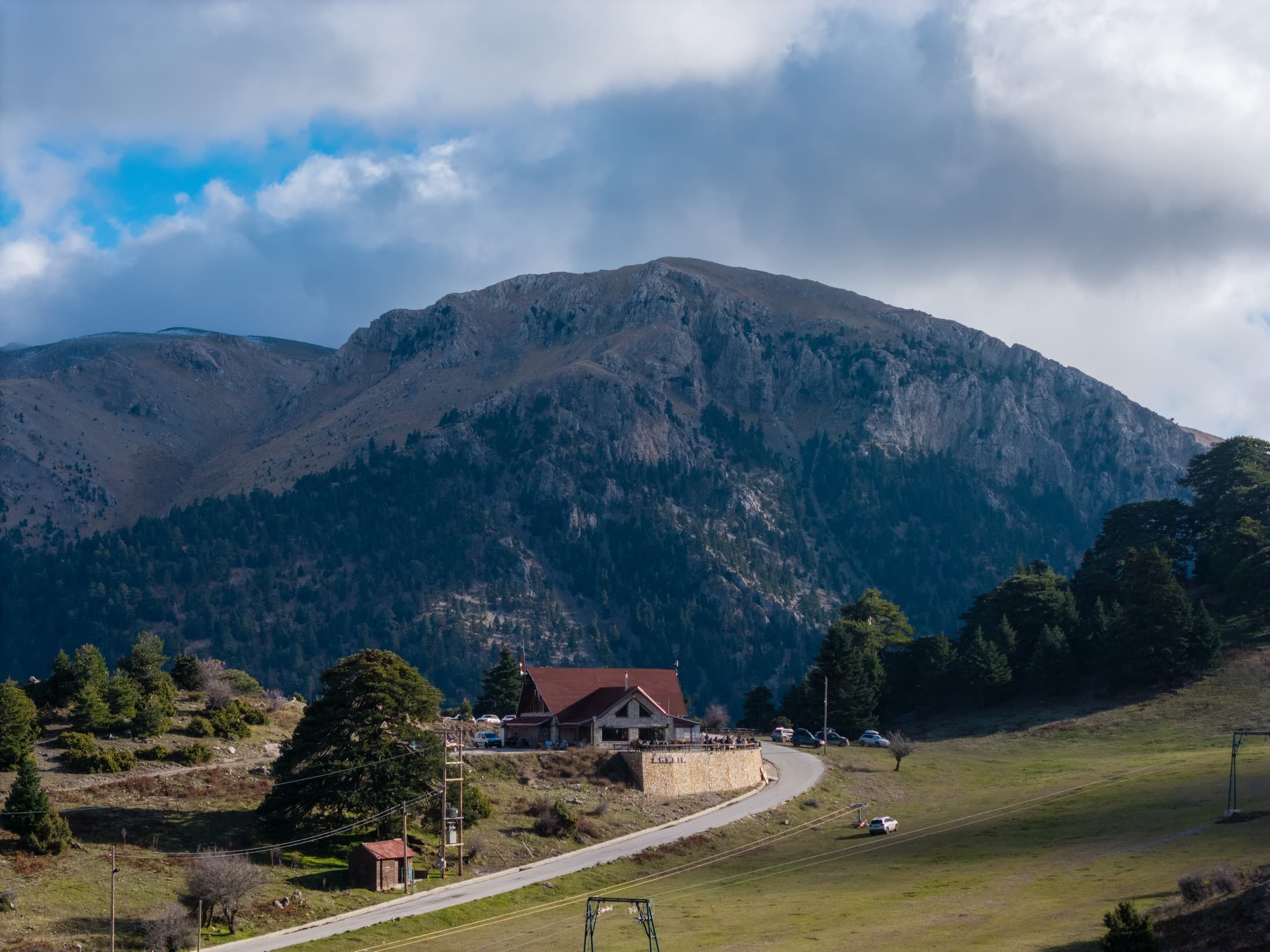
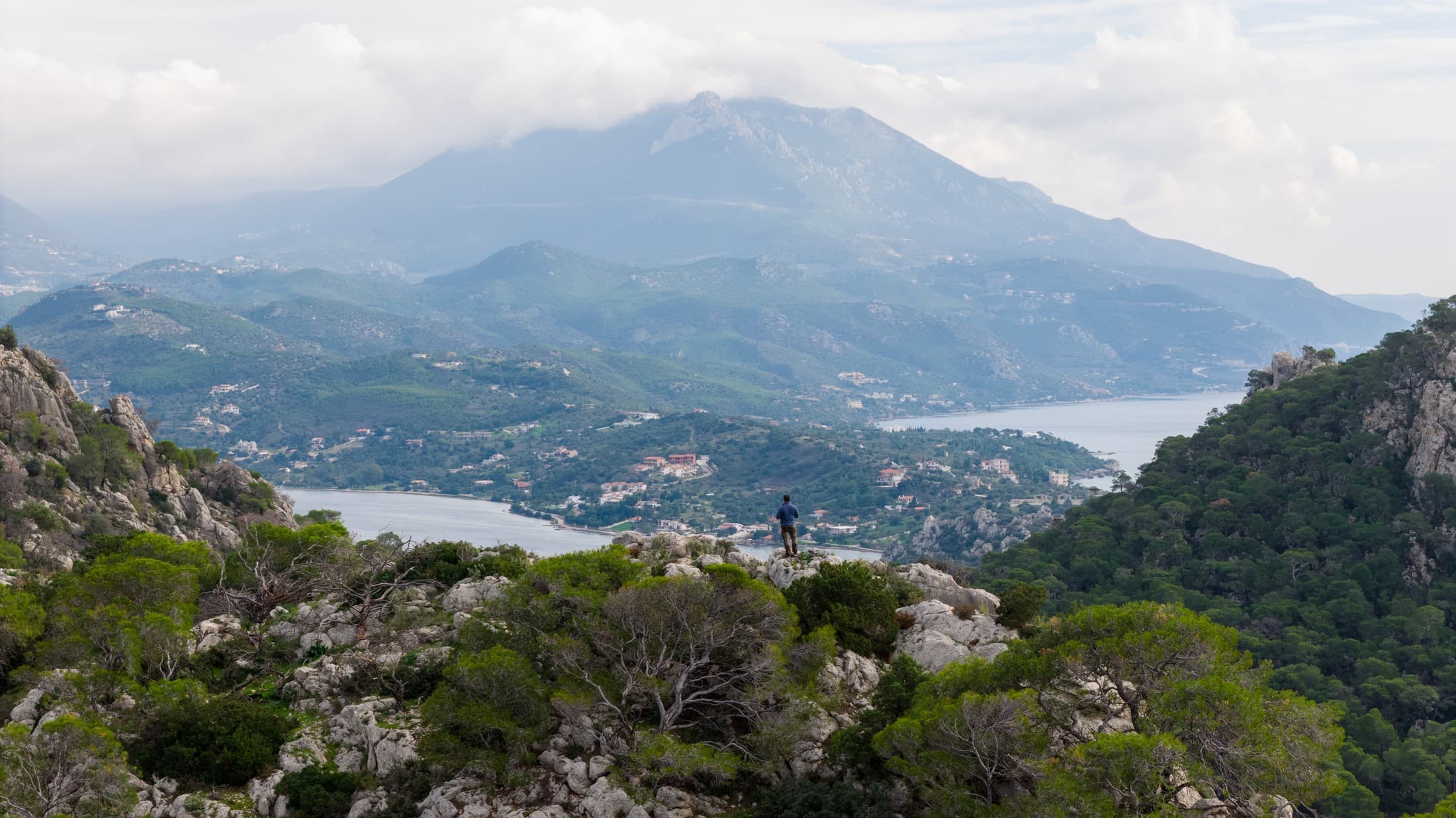
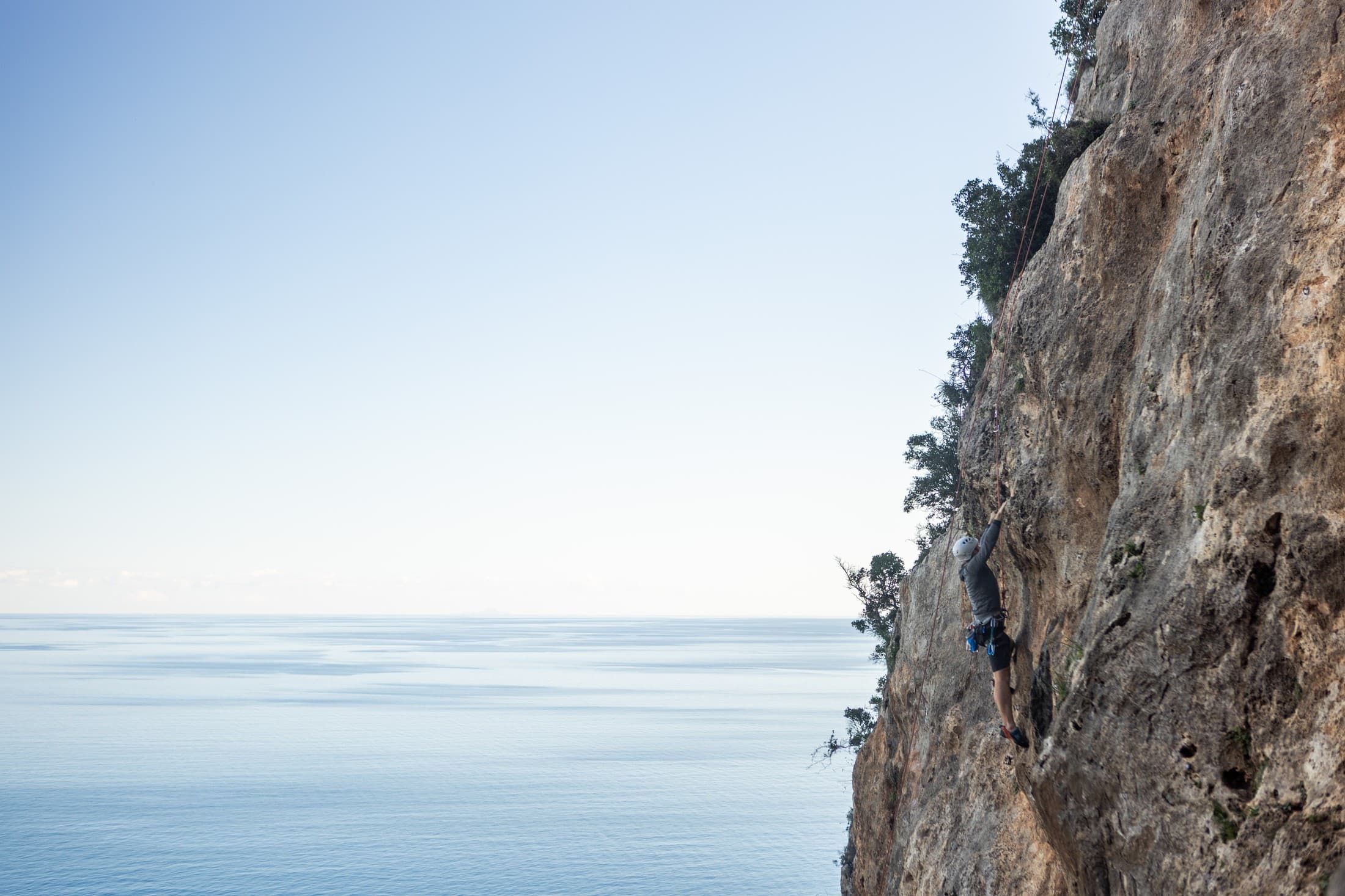
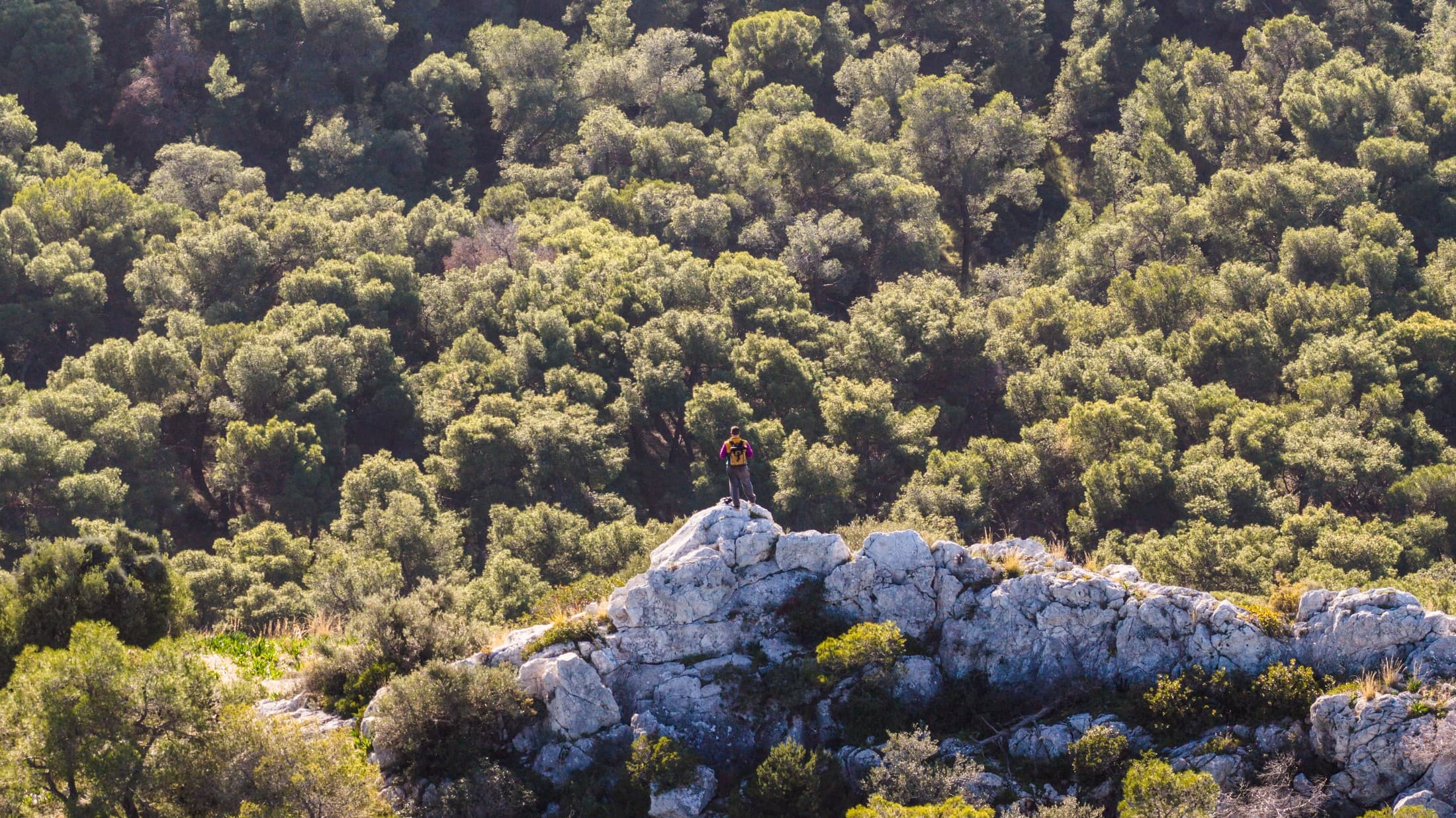
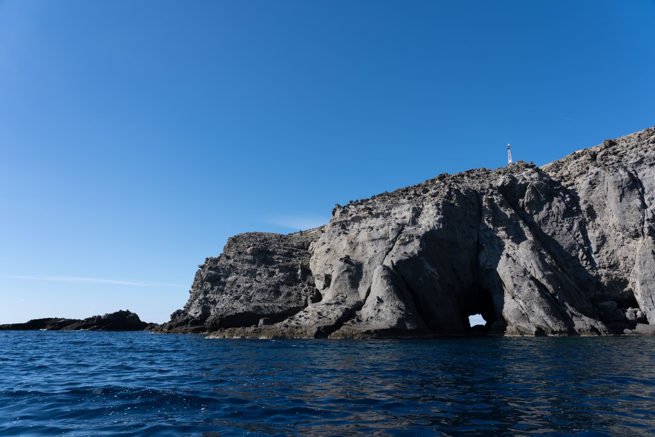
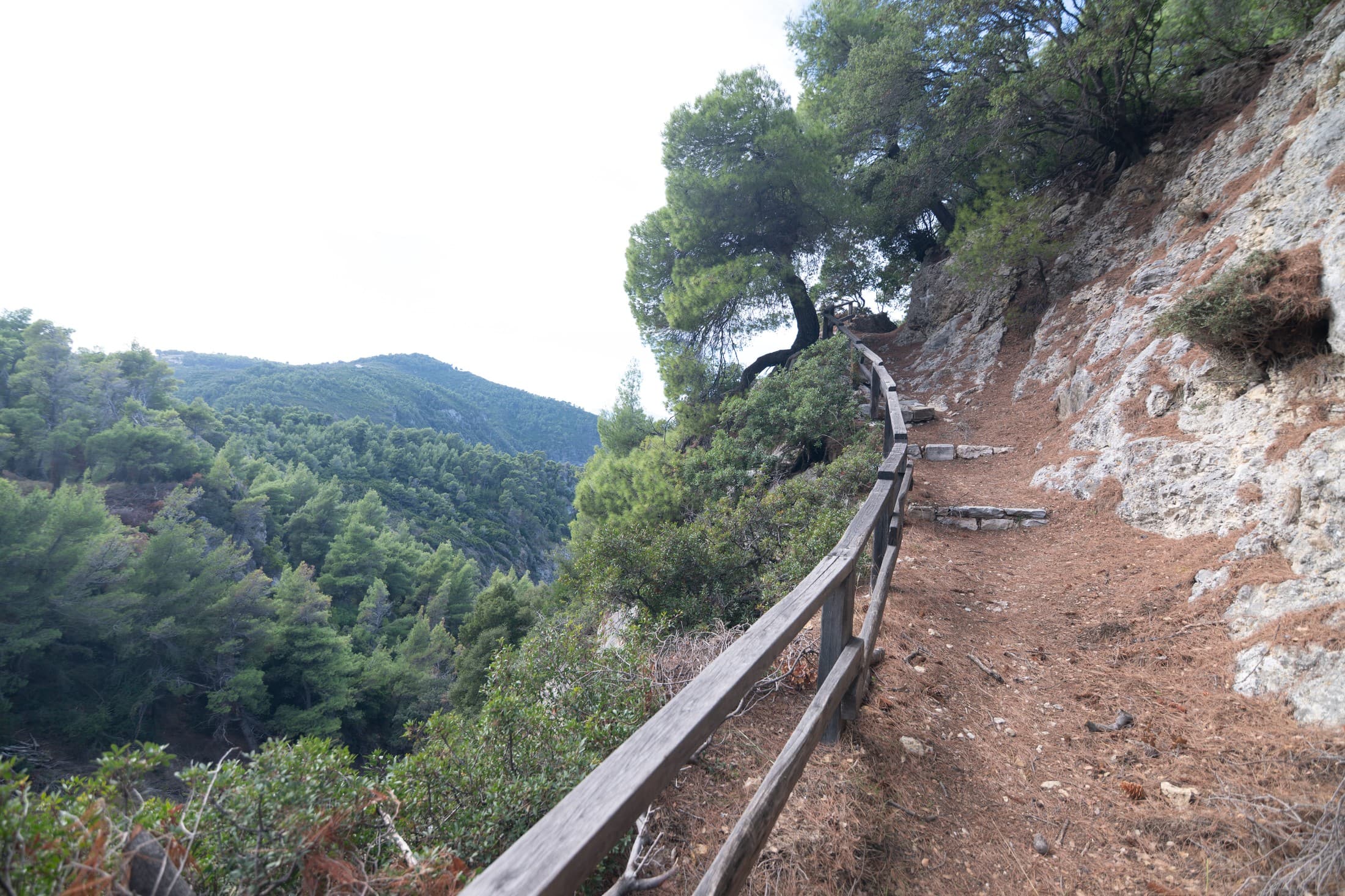
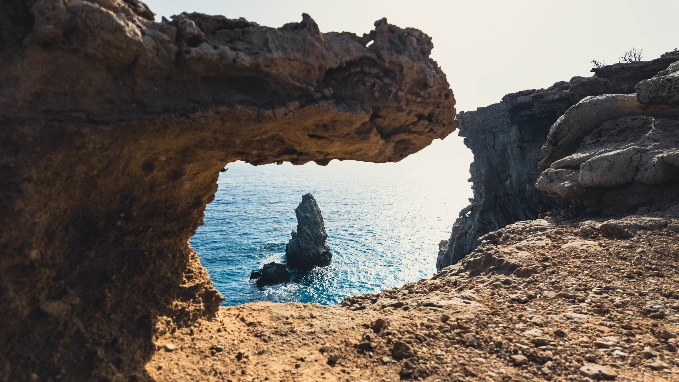
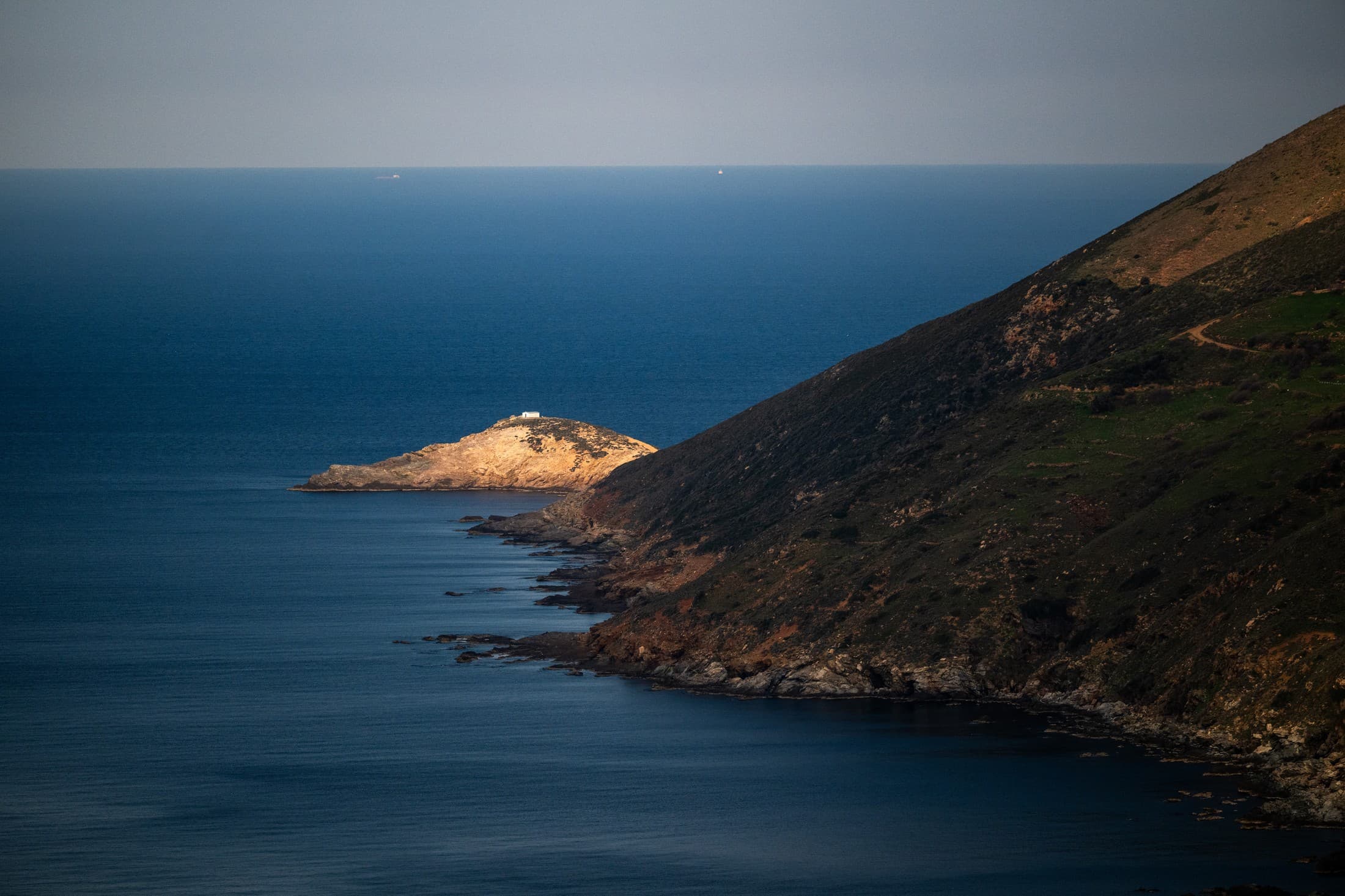
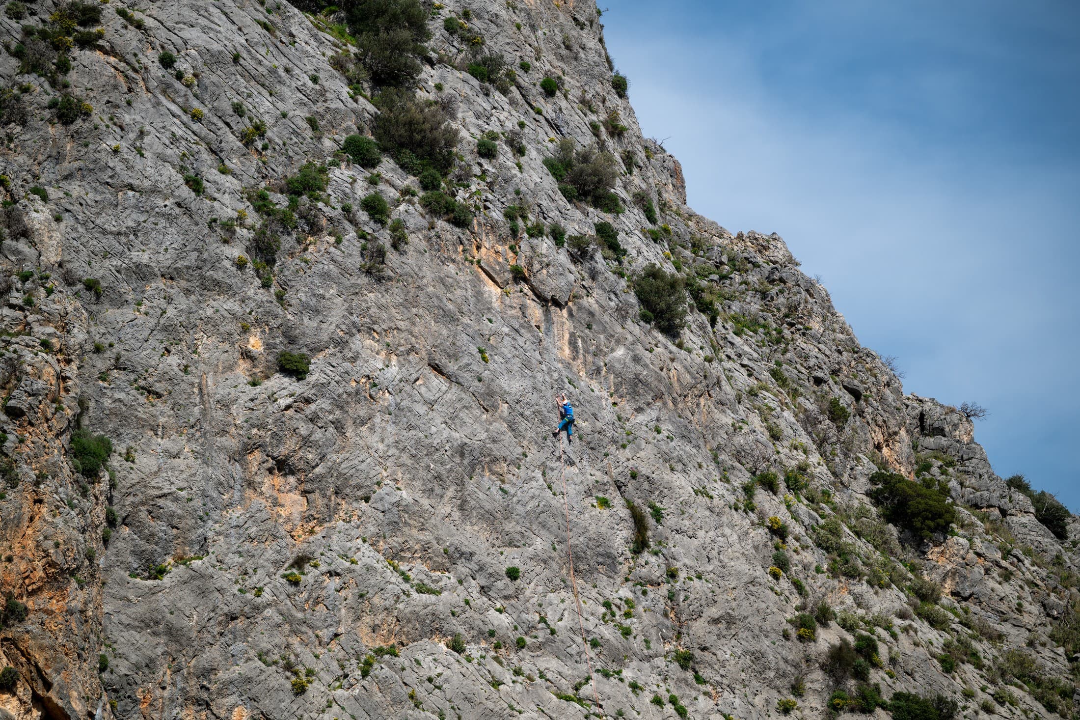
- Arni – Vourkoti – Apikia: one of the most impressive trails. It moves along the ridge of the Kouvara mountain range, the tallest on the island, offering panoramic views of the Aegean Sea and the contours of Andros. The alternation of mountain, forest, and sea horizon creates one of the most complete hiking experiences on the island.
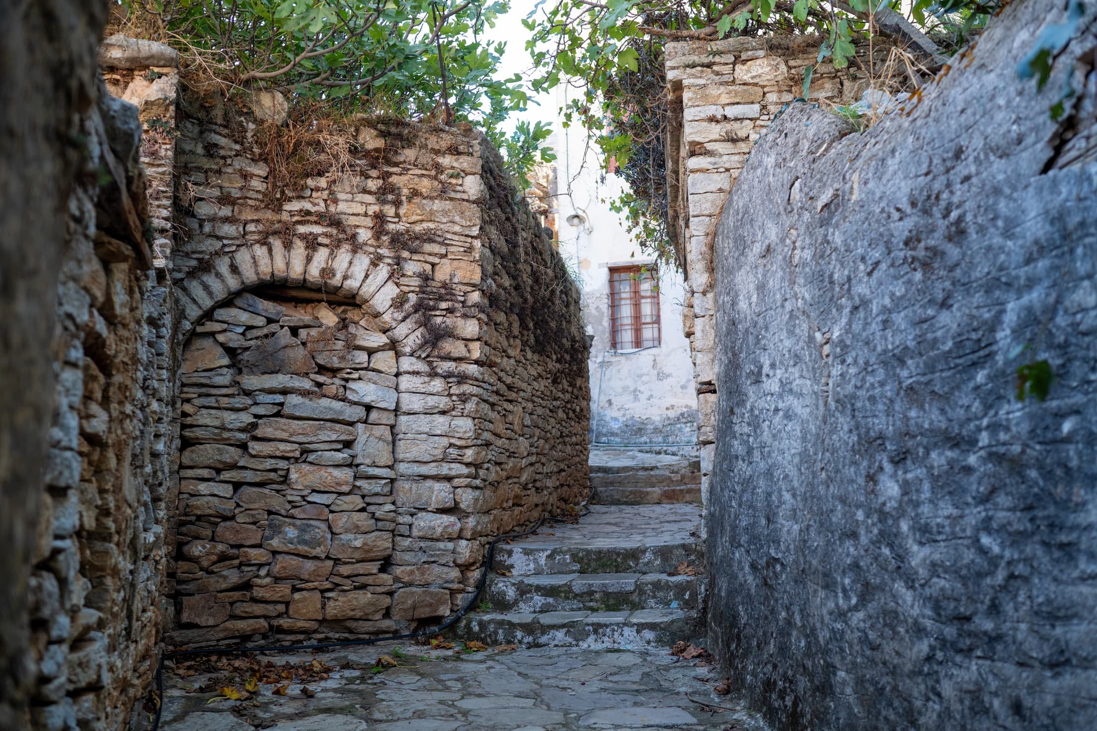
- Apikia – Chora: an easy route, featuring stone bridges and small chapels, and ending at the historical centre.
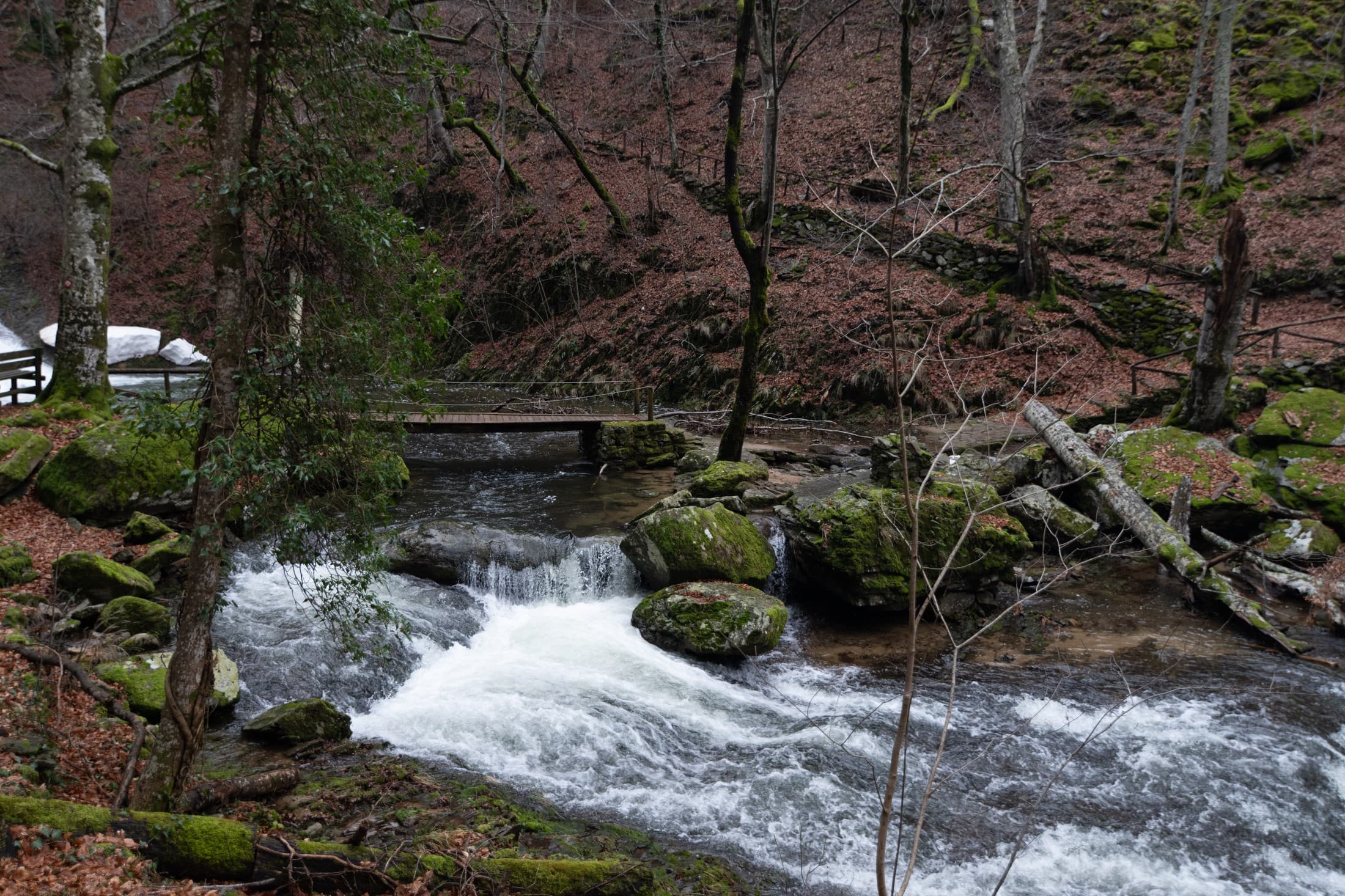
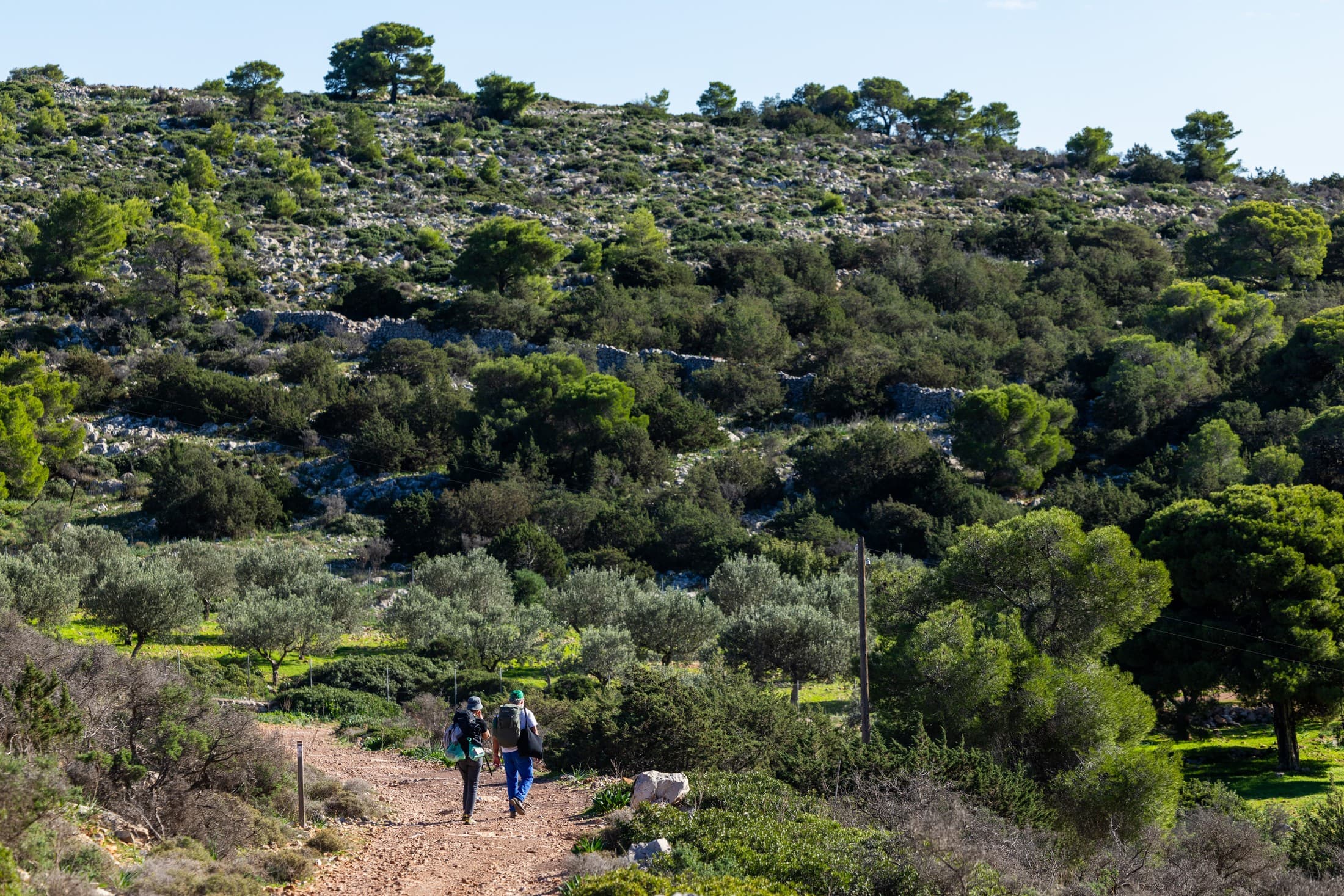
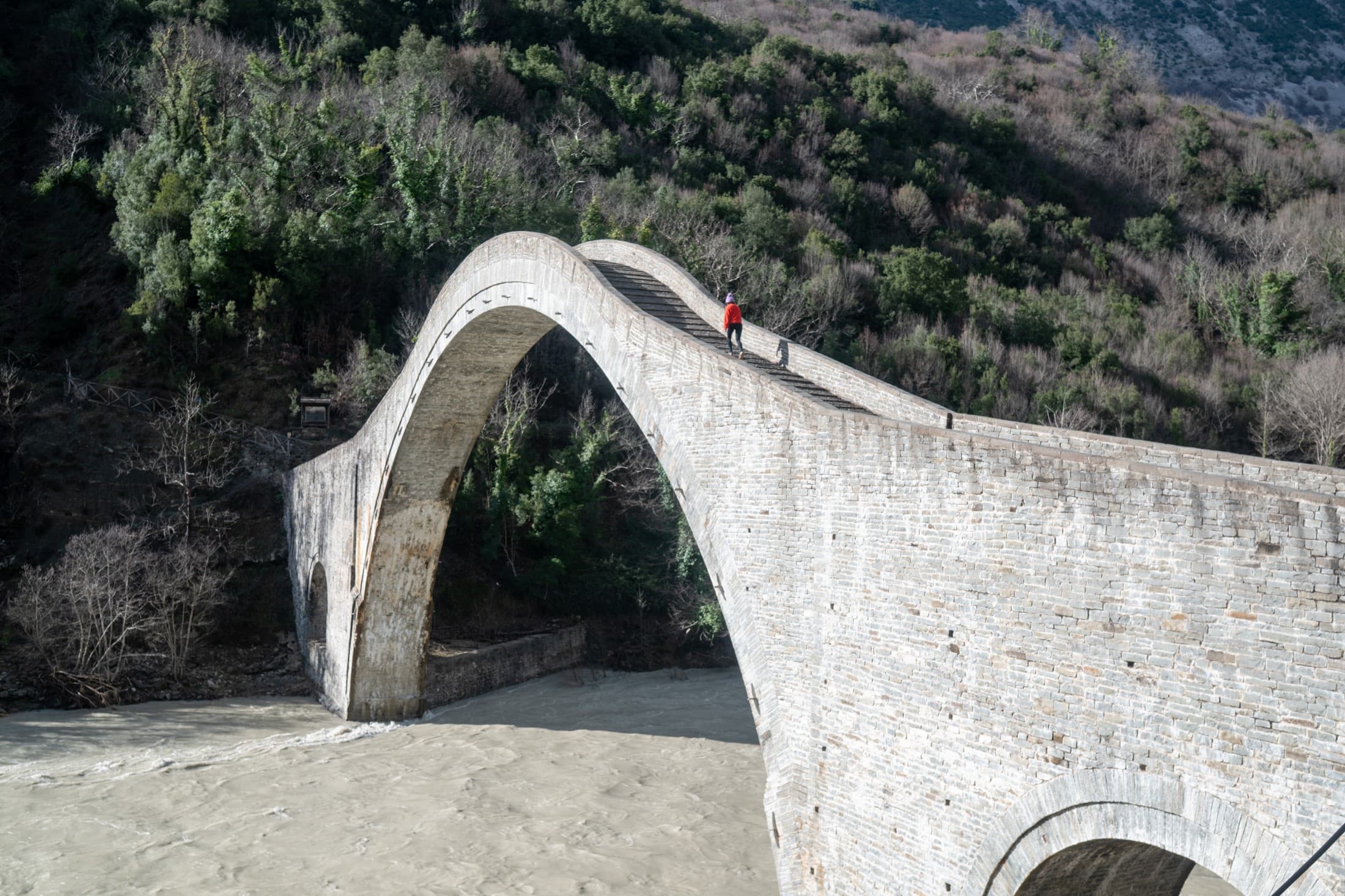
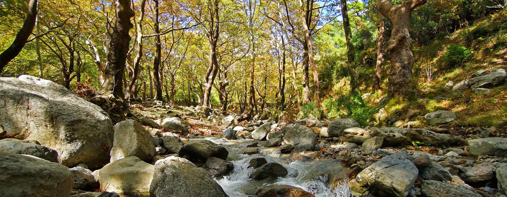
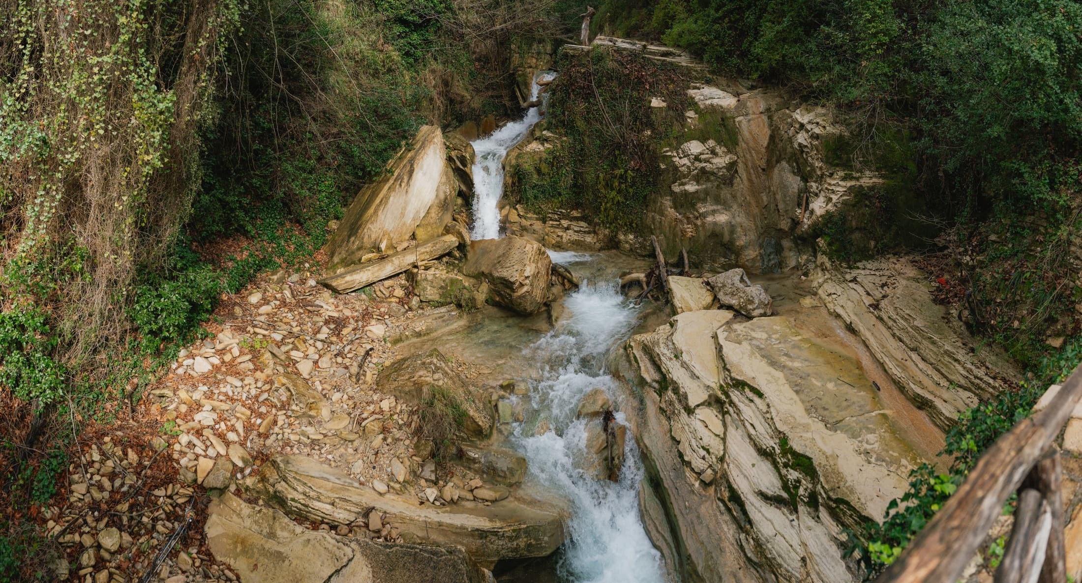
- Chora – Dipotamata – Korthi: a route with a great variety of landscapes, connecting central and southern Andros while offering some of the most characteristic images of the hinterland. The sharp relief, small villages, and the impressive Dipotamata gorge, replete with watermills, a stone bridge, and the Castle of Faneromeni, reveal the agricultural past of the island.
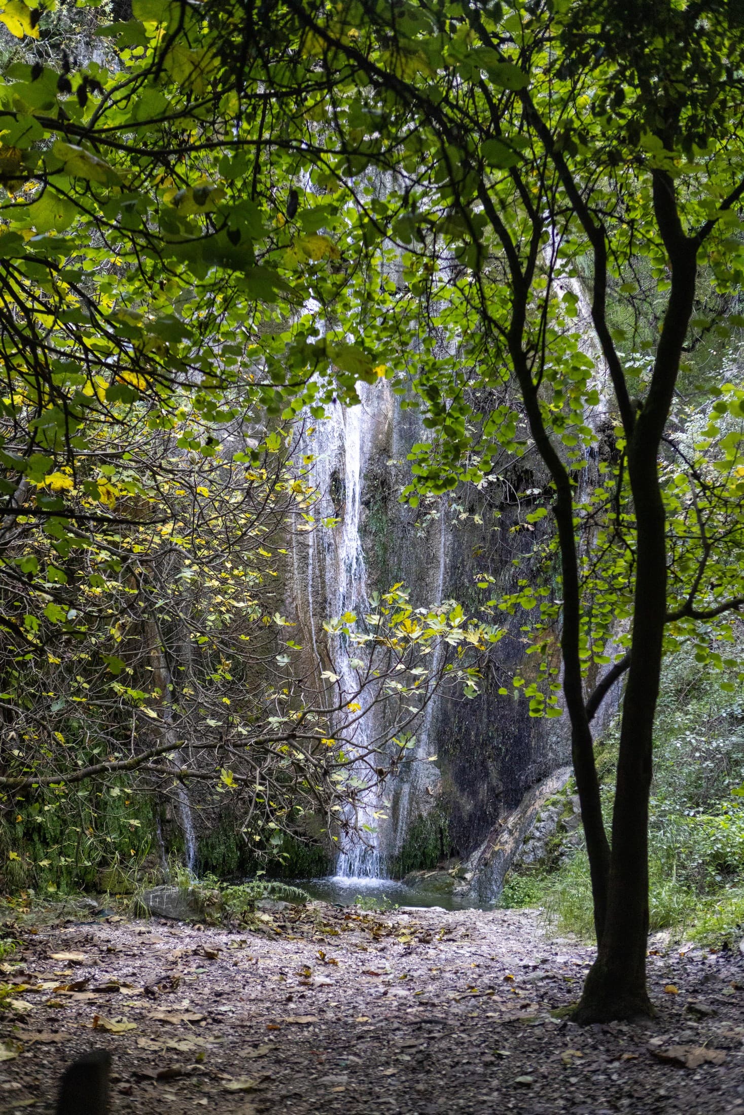
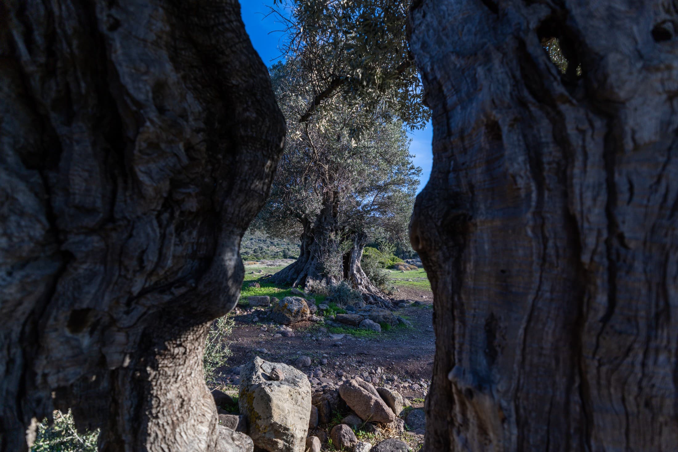
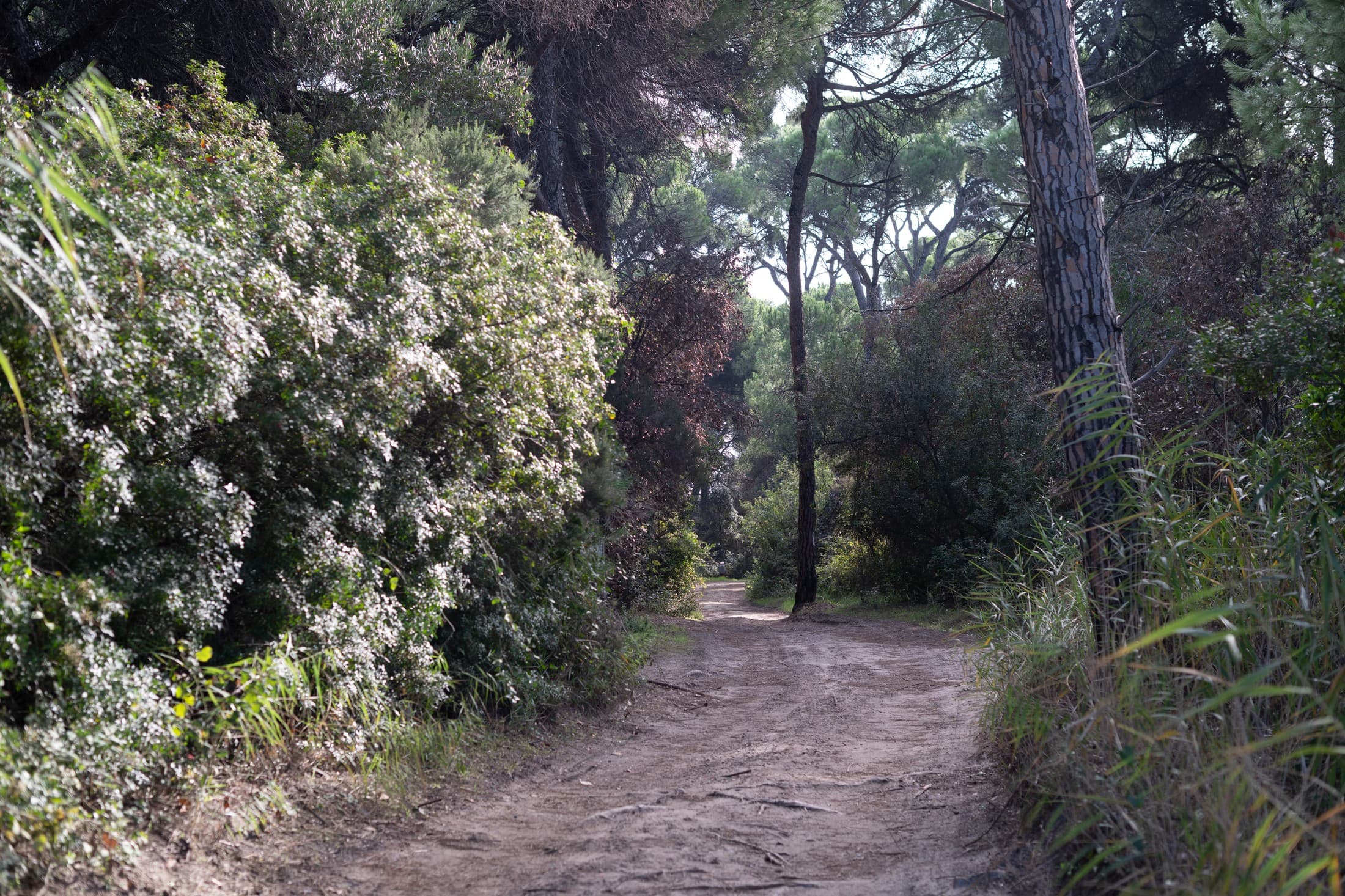
- Paleopoli – Batsi: one of the most harmonious hiking experiences on the island. It begins at the ancient capital of Andros, Paleopoli, and crosses the Kouvara mountain range. Along the way, one encounters the valleys and waterfalls of Ano Paleopoli, the old paving stones of the ancient road, and the small Archaeological Museum.
Total network length: approximately 180 km.
Main route: Andros route (100 km over 10 daily stages)
Difficulty level: Ranging from easy (1–2 hours) to demanding (6–8 hours)
Hiking season: March–June & September–November
Equipment: Non-slip shoes, a hat, water, a map or the official Andros Routes app
NB: weather conditions may affect the accessibility of the trails. It is advisable to consult the website www.androsroutes.gr before any hike.
Hiking with respect for nature
Andros possesses an exceptionally sensitive ecosystem and is home to diverse bird species, endemic plants, and freshwater springs. During your hike: Stay on the marked trails to protect the natural vegetation.
- Do not litter and avoid single-use plastics, preferring water flasks and reusable containers.
- Refrain from playing loud music, as the sound of flowing water and birdsong is the true soundtrack of the island.
- If you happen to encounter volunteers from the Andros Routes team, feel free to share any observations regarding the trail, as your feedback is invaluable for its continued maintenance.